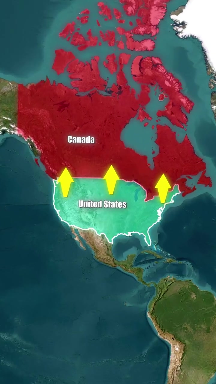
Canada's Population Density
At first glance, geography suggests that Canada sprawls north of the United States. Yet, about 70% of Canadians live south of the 49th parallel. Almost half of Canada's population clusters in a narrow southern strip, near the Great Lakes and along the U.S. border. This high density area hosts millions of Canadians, which effectively means that the majority live south of North Dakota and even Washington State. Sketching the map, this seems astounding, but it is a testament to Canada's urban population clustering in the south. The country's southernmost point, Middle Island sits farther south than 27 U.S. States. People who live in the northernmost tip of California, for example, live north of many Canadians.
Political Divide
The 49th parallel itself is a political line. It was set by agreement between British-controlled Canada and the U.S. in 1818, the treaty settled territorial disputes. This division spanned 1,200 miles, effectively separating the two countries. But the geography of human habitation defies this artificial straight line. The Great Lakes region alone hosts a large chunk of Canada’s population. This demographic reality is under-appreciated, and it presents a fascinating puzzle of how geography intersects with political divisions and population settlements. Middle Island, Canada’s southernmost point, adds an even more nuanced layer to this geographic puzzle in the human habitation of both countries. It stands as a critical point of intrigue, sitting farther south than the vast majority of U.S. states. Even more remarkably, more Americans live north of this point than Canadians. This highlights that most Americans have a unique territorial overlap north of Canada.
Urban Anomalies
The city of Detroit stands as a unique geographical anomaly. It is the only major U.S. city where traveling directly south takes you into Canada. This peculiarity arises from the Great Lakes’ geography, which has Canada’s largest urban hubs neatly aligned with the United States. But Detroit gives an unusual glimps into this, with the city juxtaposed against the Canadian city of Windsor, further emphasizing the interconnected and overlapping nature of these territories. If human settlements follow water bodies, why do humans still cluster in urban enclaves near the 49th parallel?
Related deep dives
Similar reads based on topic and creator.




Recent articles
Fresh deep dives from the latest Reels we unpacked.




Comments
Be the first to comment.